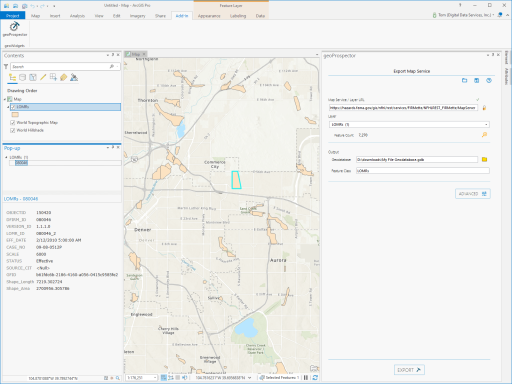
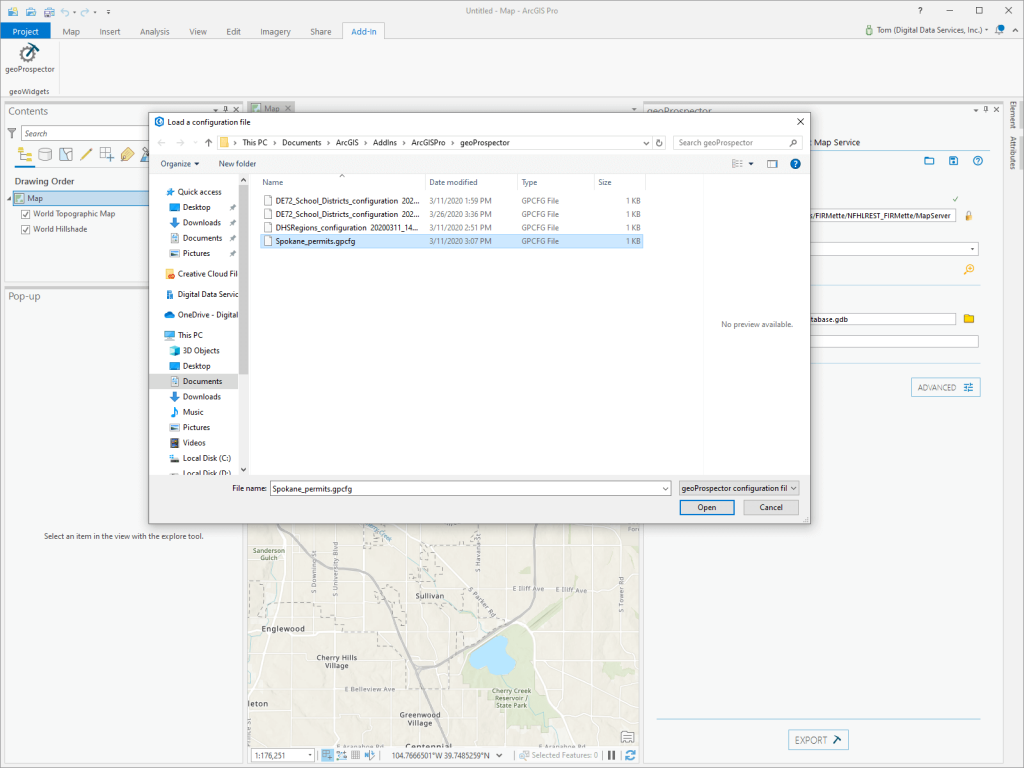
The geoProspector ArcGIS Pro Add-In downloads geospatial data from ArcGIS REST Map Services when Feature Services do not exist. 

geoProspector simplifies the complexity of identifying, downloading, and displaying Map Service data in easy-to-use ArcGIS Pro Add-In. 

Why Use geoProspector?

ArcGIS Pro can download local data copies of ArcGIS Feature Services, but only displays data from Map Services. Data can be downloaded using a variety of scripting languages but is a multi-step process and requires some coding know-how. Wouldn’t it be nice just to be able to download the data you need directly in ArcGIS Pro? geoProspector is your solution! 

No Coding Required

Built for ArcGIS Pro, geoProspector does not require any developer or special skills to use. Purchase it on the ArcGIS Marketplace, download and install the Add-In, and start downloading data immediately.

Save Time

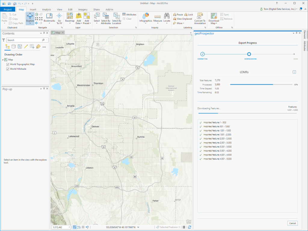
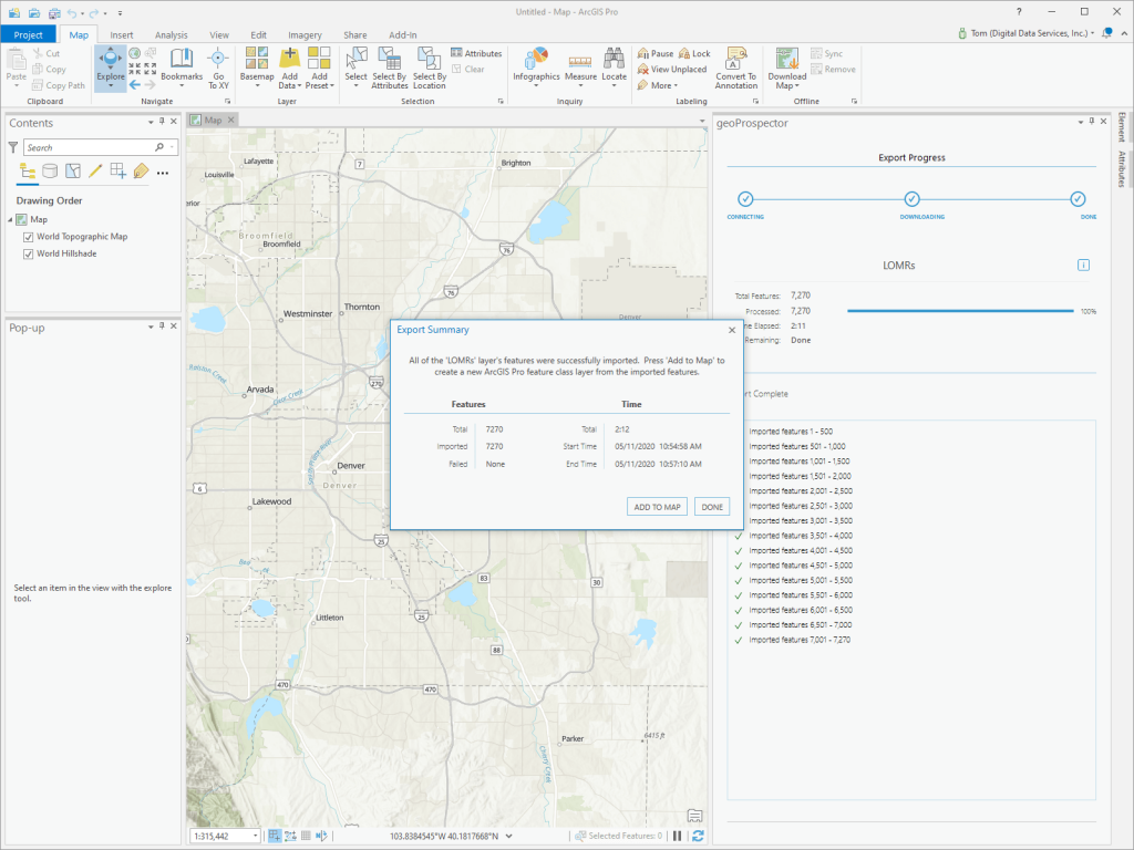
Eliminate the complex and lengthy process to acquire and manipulate data from ArcGIS Map Services. geoProspector retrieves data quickly to File Geodatabase and displays it for use in ArcGIS Pro.

Access Data Easily

geoProspector simplifies accessing all the data stored in ArcGIS Map Services, all from ArcGIS Pro. Add an ArcGIS REST endpoint, define the output File Geodatabase, download your data. Simple as that!

Flexible and Configurable

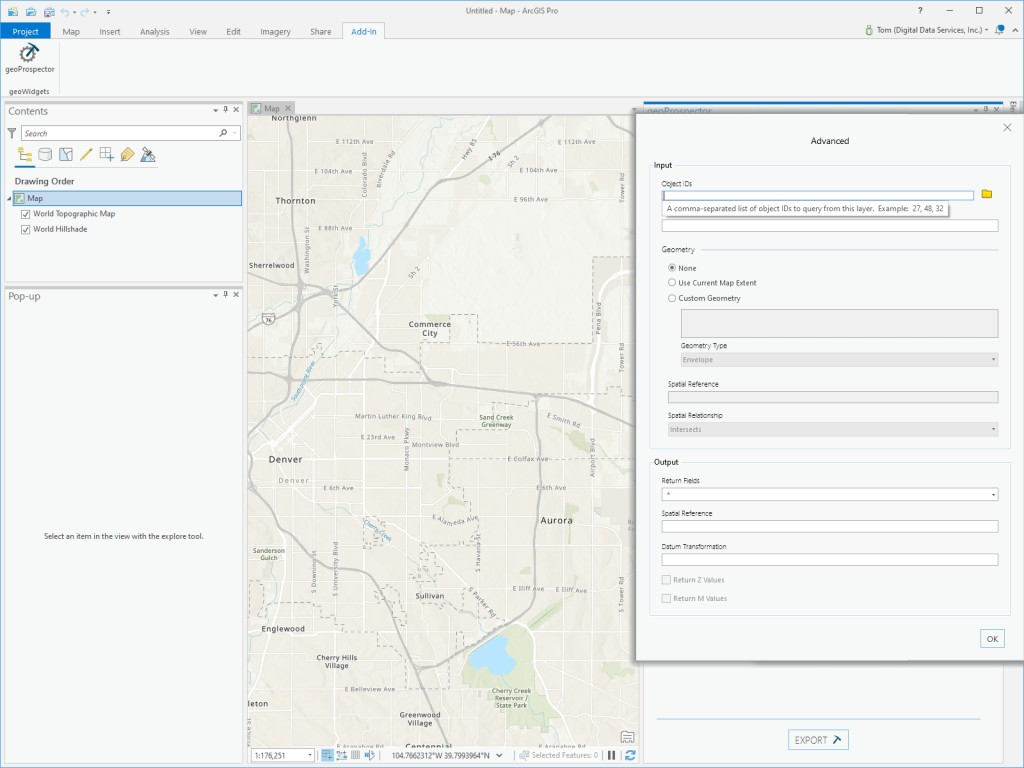
geoProspector provides the ability to specify Object IDs, define WHERE statements, set input geometry, and spatial relationships for the input to refine the data. For exporting, geoProspector lets you specify the output fields, spatial reference, datum transformation, and, if available, Z and M values.