What is geoSherpa?

geoSherpa is an interactive tutorial system, built for Web GIS that guides your users with step-by-step tours, video tutorials, and FAQs through your Web AppBuilder for ArcGIS® and Geocortex® applications. With geoSherpa, you can integrate your documentation into your Web GIS applications to simplify training, reduce support tickets, and increase Web GIS adoption.
geoSherpa delivers simplified, effective training supporting all your users and organizational workflows. It eliminates GIS jargon and reduces one-on-one training needs by offering engaging interactive, video, and text tutorials empowering all learning styles.
Supercharge Your Web GIS:
geoSherpa for Web AppBuilder for ArcGIS® and Geocortex®
 geoSherpa is designed to support any Web GIS but is proven effective for Web AppBuilder for ArcGIS® and Geocortex® learning and adoption. Whether highlighting basic functionality or guiding your users through complex workflows and components, geoSherpa Guides increase user acceptance and reduce support costs.
- Quickly onboard and teach any level of user to become an expert in your Web AppBuilder or Geocortex® applications.
- geoSherpa Guides deploy easily into Web AppBuilder for ArcGIS® with the geoSherpa Web AppBuilder Widget.
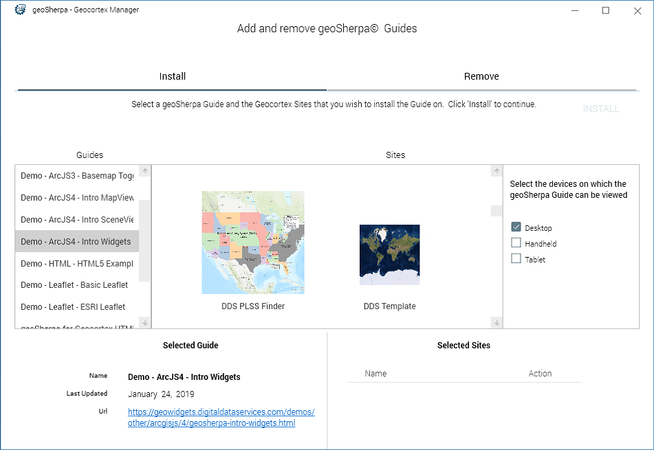
- With the geoSherpa Deployment Tool for Geocortex®, you can easily deploy site-specific Guides and get your users learning today.
How does geoSherpa work?
geoSherpa provides your users step-by-step interactive tours, video tutorials, and frequently asked questions (FAQs) to simplify Web GIS training, reduce support tickets, and increase Web GIS adoption.
geoSherpa consists of the following three components making the creation and deployment of geoSherpa Guides simple, intuitive, and without the need to delve into code.
No Coding Required!
geoSherpa Planner
geoSherpa Planner is a Windows Desktop application providing a simple WYSIWIG development environment to create and manage your Guides.
How do I get geoSherpa?
The geoSherpa Beta will be available in the next couple weeks. If you are interested in being an early adopter, please sign up for the beta.
geoSherpa will be released at the Esri 2019 User Conference and available on the ArcGIS Marketplace. geoSherpa is $2,500 per year for an organization subscription. No per site or per user fees! If you are attending the Esri User Conference, visit us at Booth 2502!
About geoWidgets
geoWidgets is a family of products to extend and enhance ArcGIS web GIS solutions developed by Digital Data Services, Inc. Our vision is to leverage our two decades of geospatial experience to develop third-party web GIS extensions that enhance Web GIS. Our products include:
- geoSherpa – An interactive tutorial system for web GIS
- geoWidgets Activity Packs – Activities to enhance Geocortex Workflow
Digital Data Services, Inc., is a GIS consulting firm that utilizes the power of the Esri product suite to provide state-of-the-art desktop and web GIS solutions since 1998. Our staff provides implementation and customization solutions for Esri web GIS and Geocortex products. If you need assistance, we are here to help solve your web GIS challenges.

